So many fish, one great map
FishMap is a free online mapping tool that allows anyone interested in fish to discover which fish species occur at any location or depth throughout the marine waters of Australia’s continental shelf and slope.
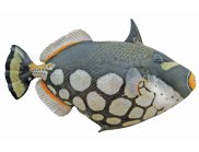
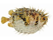
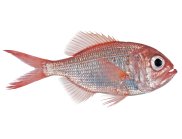
FishMap also lets people create regional illustrated species lists for almost all of Australia’s marine fishes, detailed with photographs and illustrations, distribution maps and current scientific and common names.
FishMap was developed by CSIRO’s Wealth from Oceans Flagship and the Atlas of Living Australia.
“FishMap is the only resource of its kind in the world that covers virtually all species of marine fish found in the marine waters of an entire continent.”
Daniel Gledhill, CSIRO Wealth from Oceans Flagship
“Australia’s marine biodiversity is among the richest in world, but until FishMap we lacked an Australia-wide capability to rapidly produce regional, illustrated species lists,” says ichthyologist Mr Daniel Gledhill of CSIRO’s Wealth from Oceans Flagship.
“FishMap provides a fundamental tool to assist management and sustainability of our marine biodiversity and puts this major capability in the hands of managers, fishers, scientists and the broader public for the first time,” he says.
“FishMap is the only resource of its kind in the world that covers virtually all species of marine fish found in the marine waters of an entire continent.”
FishMap has a myriad of uses, from creating a personalised pictorial guide or identifying fish spotted during a dive, to plotting the range of a threatened species, to improving quality of data collected by citizen scientists, field workers and scientists, or determining the possible species composition for catches of any fishery in the waters of Australia’s continental shelf and slope.
The tool provides the scientifically known geographical and depth ranges of over 4500 Australian marine fishes, including 320 sharks and rays, of which over 95 per cent have an associated image or illustration. Searches reveal illustrated lists of fishes by area, depth, family or ecosystem. Lists can be printed to create simple guides or data can be downloaded into a spreadsheet to create templates for data collection.
“FishMap is built on the Atlas of Living Australia’s open infrastructure and perfectly illustrates our purpose to bring the rich data from Australia’s biological collections to the fingertips of everyone from scientists to the public,” says program manager Peter Doherty of the Atlas of Living Australia.
“The Atlas team has built FishMap quickly and efficiently by leveraging the existing open infrastructure that currently delivers over 36 million species occurrence and specimen records to Australian researchers,” he says.
FishMap builds on more than a century of research by Australian ichthyologists and on the work of museums and research agencies across Australia who contributed underlying data and images. FishMap has been jointly funded by The Atlas of Living Australia and CSIRO’s Wealth from Oceans Flagship. Collation of core data and images within FishMap has previously been supported by FRDC (Fisheries Research and Development Corporation) and Department of Sustainability, Environment, Water, Population and Communities.
The Atlas of Living Australia has received a total of A$41.03 million in support from the Australian Government through the National Collaborative Research Infrastructure Strategy, the Super Science Initiative and the Collaborative Research Infrastructure Scheme.
FishMap will be officially launched on Tuesday 26 February 2013 and is available on the Atlas of Living Australia website .
Media resources
Click image for high resolution version


